Drone Photogrammetry
Drone Photogrammetry Services: Precision Redefined
At Eagle Eye Drone Services, we bring state-of-the-art drone photogrammetry to your fingertips, enabling precise data collection and visualization. Whether you’re in construction, real estate, agriculture, or land surveying, our photogrammetry services provide unparalleled accuracy and efficiency to meet your project’s needs.
What is Drone Photogrammetry?
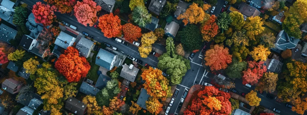
Drone photogrammetry is the process of capturing high-resolution images from drones and transforming them into detailed, measurable 2D maps and 3D models. By combining advanced drone technology and specialized software, we deliver comprehensive data insights that revolutionize how industries approach planning, monitoring, and decision-making.

High Precision and Accuracy
Our drones are equipped with advanced sensors and GPS technology to capture precise georeferenced imagery, ensuring reliable measurements and visualizations.

Cost-Effective Solutions
Traditional land surveying and mapping can be time-consuming and costly. Drone photogrammetry significantly reduces labor and equipment expenses while delivering faster results without compromising accuracy.

Rapid Data Collection
Drones cover large areas in a fraction of the time compared to ground-based methods, delivering data quickly and efficiently for time-sensitive projects.
What We Offer

Land and Site Surveys
Get detailed topographical data to streamline land development, infrastructure projects, and property management. Our photogrammetry services help identify slopes, elevations, and potential obstacles, aiding better planning and execution.

Construction Monitoring
Track progress, assess site conditions, and ensure construction projects remain on schedule. Photogrammetry provides accurate measurements for volume calculations, site grading, and more.

Real Estate Visualization
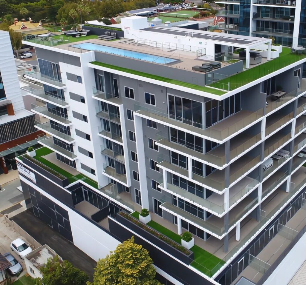
Present properties with captivating aerial perspectives. 3D models and orthomosaic maps created through photogrammetry highlight property boundaries and nearby features, offering a unique perspective to potential buyers.
Drone Photogrammetry
How Drone Photogrammetry Works
Flight Planning: Using advanced software, we plan drone flights to optimize coverage and capture the necessary data points.
Data Capture: Our drones capture high-resolution images with overlapping coverage to ensure accuracy and detail.
Image Processing: Specialized photogrammetry software processes the images to create orthomosaic maps, digital elevation models (DEM), and 3D renderings.
Deliverables: We provide ready-to-use, actionable data in various formats tailored to your specific needs.

Transform Your Projects with Drone Photogrammetry Services
Contact us today to learn more about how our services can take your projects to the next level. Let’s map out your success together!
Why Choose Eagle Eye Drone Services?
Advanced Technology: We use cutting-edge drones and photogrammetry software to deliver the highest quality results.

Tailored Solutions
We customize every project to ensure we meet your unique needs.

Experienced Team
Our operators are certified professionals with a deep understanding of industry requirements.

Timely Delivery
We pride ourselves on delivering results promptly without compromising on quality.
Testimonials
Hear what our satisfied clients have to say about their experiences with us.
EXCELLENTTrustindex verifies that the original source of the review is Google. I had an amazing experience with Eagle Eye Drone Services! I needed some drone footage, and the service provided was top-notch from start to finish. Russell was incredibly professional, punctual, and kind throughout the entire process. Russell captured exactly what I needed with impressive precision and creativity. He went above and beyond to ensure I was satisfied with the final result. If you're looking for high-quality drone footage and exceptional customer service, I highly recommend Eagle Eye Drone Services!Trustindex verifies that the original source of the review is Google. When we met Russell and Lloyd, we were extremely impressed with their resumes. Retired military, retired police, and FAA licensed drone pilots. We felt like we hit the jackpot - and a few weeks later we were hired by a prestigious marketing firm to shoot video for a large, local roofing company. We immediately reached out to Eagle Eye Drone Services, and they obtained all the necessary permits needed to fly their drones in that area. They showed up early, even before the roofing crew, and were fantastic to work with. The footage, both video and still photography, was perfect. They were respectful of the neighbors’ privacy and communicated with our crew, as well as the marketing director, throughout the shoot. We received the files quickly, and everything looked spectacular. There are a lot of companies out there selling their drone services, but they do not have the right credentials for us to partner with – we need the best – the most above board. We plan to use Eagle Eye Drone Services for every job that involves ariel footage and photos. Highly recommended!Trustindex verifies that the original source of the review is Google. I highly recommend Eagle Eye Drone Services. They provided high quality and detailed shots for our business that is a huge asset to our marketing and web page. If you’re looking to take your business to the next level, these guys can help!Verified by TrustindexTrustindex verified badge is the Universal Symbol of Trust. Only the greatest companies can get the verified badge who has a review score above 4.5, based on customer reviews over the past 12 months. Read more
Take Your Projects to New Heights with Eagle Eye Drone Services
Ready to elevate your projects with precision Drone Photogrammetry Services? Contact Eagle Eye Drone Services today and let’s take your vision to new heights!
