Drone Photography & Video Guide: Insights from Eagle Eye Drone Services
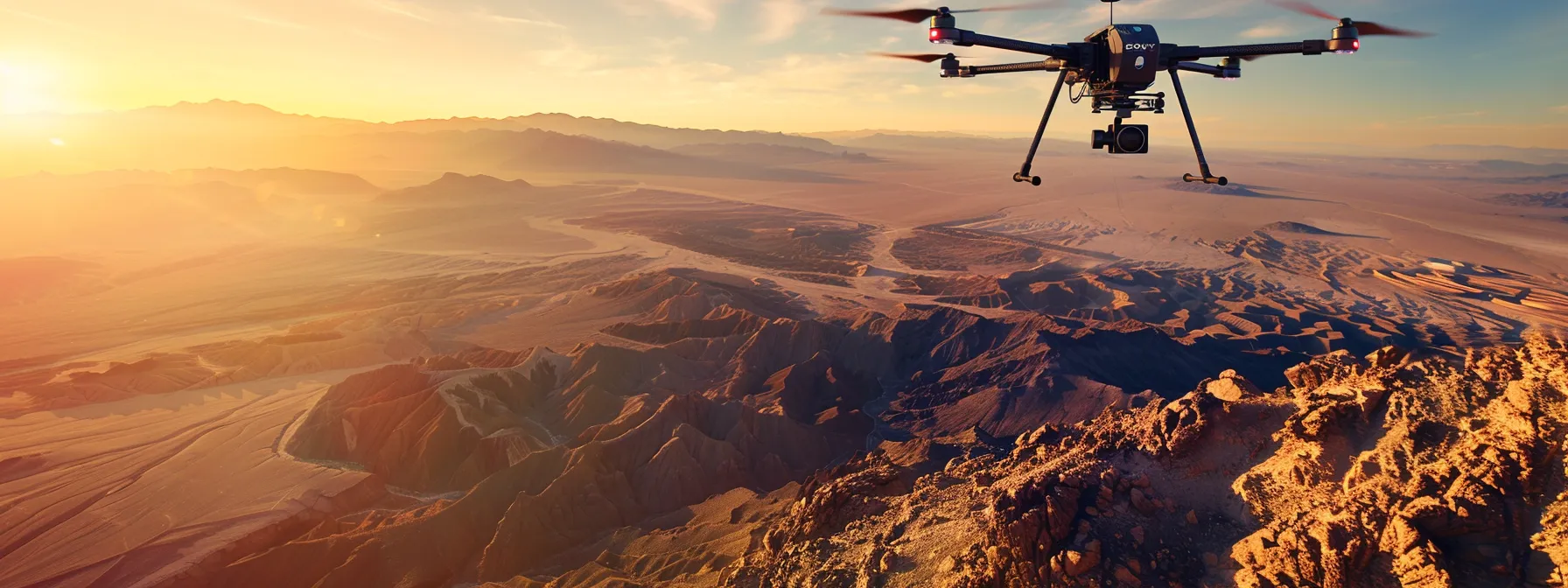
Aerial imagery has revolutionized photography, construction, and virtual tours. Are you looking to harness this technology for your projects? Eagle Eye Drone Services offers a comprehensive guide to elevate your aerial imagery skills. This article covers drone photography techniques, safety requirements, equipment selection, and real-world applications. Whether you’re a construction professional or a photographer, you’ll learn how to capture stunning aerial shots and create immersive virtual tours. Discover how Eagle Eye Drone Services can help you take your aerial imagery to new heights.
Key Takeaways
- Drone technology has revolutionized aerial imagery across industries like real estate, environmental monitoring, and agriculture
- Eagle Eye Drone Services offers comprehensive aerial imaging solutions, including photography, videography, mapping, and training
- Mastering drone photography requires technical skills, creative vision, and adherence to safety and legal requirements
- Selecting the right drone equipment and accessories is crucial for achieving professional-quality aerial imagery
- Client testimonials demonstrate Eagle Eye Drone Services’ success in delivering innovative aerial imaging solutions across various sectors
Understanding the Basics of Aerial Imagery

Aerial imagery has transformed industries like real estate, marketing, and advertising. This section explores the evolution of drone technology, key terms in aerial photography, and diverse applications across sectors. It also highlights the benefits of using drones for imagery and addresses common challenges in aerial videography, providing valuable insights for professionals in various fields.
The Evolution of Drone Technology
Drone technology has undergone rapid advancements, transforming aerial imagery capabilities. From early military applications to today’s sophisticated consumer and commercial equipment, drones have become increasingly accessible and versatile. These developments have led to significant improvements in camera quality, flight stability, and operational range, making drones an invaluable tool for capturing high-quality aerial imagery across various industries:
- Military reconnaissance drones
- Consumer photography drones
- Commercial mapping and surveying drones
- Industrial inspection drones
- Cinematography drones for film and TV production
Key Terms in Drone Photography
Drone photography involves specific terminology that professionals and enthusiasts should understand. Key terms include resolution, which refers to image quality; aspect ratio, determining the width-to-height proportion of photos; and focal length, affecting the field of view. Other important concepts are ISO, controlling light sensitivity; shutter speed, influencing motion blur; and aperture, which impacts depth of field. Familiarity with these terms enables operators to capture high-quality aerial imagery effectively.
Applications of Aerial Imagery in Various Industries
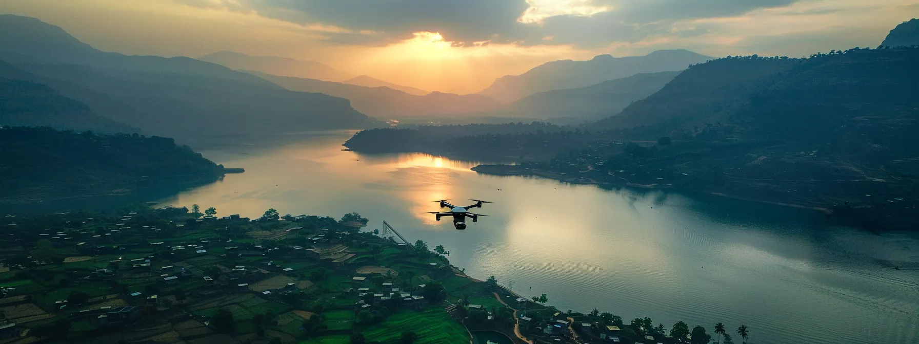
Aerial imagery has revolutionized numerous industries, offering unique perspectives and valuable data. In real estate, drone photography showcases properties from angles previously impossible, enhancing marketing efforts and buyer interest. Construction and engineering sectors utilize aerial surveys for site planning, progress monitoring, and safety inspections. Environmental scientists employ drones to study ecosystems, track wildlife, and assess climate change impacts. In agriculture, farmers use aerial imagery for crop health monitoring, precision agriculture, and yield optimization. The film and entertainment industry leverages drone footage for stunning cinematography in movies, TV shows, and documentaries.
Benefits of Using Drones for Imagery
Drones offer numerous advantages for aerial imagery, including cost-effectiveness, accessibility, and versatility. They provide a safer alternative to traditional aerial photography methods, allowing operators to capture high-quality images and videos from various angles without risking human life. Drones also enable rapid data collection, making them ideal for time-sensitive projects and real-time monitoring applications across industries such as construction, agriculture, and emergency response.
Overcoming Common Challenges in Aerial Photography
Aerial photographers face several challenges, including weather conditions, flight restrictions, and equipment limitations. Wind and precipitation can affect image quality and drone stability, while regulations may restrict flight areas and altitudes. Operators must master camera settings, composition techniques, and flight controls to capture high-quality images. Successful aerial photography requires careful planning, technical expertise, and adaptability to overcome these obstacles and produce stunning visual results.
Exploring Eagle Eye Drone Services’ Offerings

Eagle Eye Drone Services offers a comprehensive range of aerial imaging solutions. The company provides customized photography, professional videography, and advanced mapping services. Their expert consultation and support ensure clients receive tailored solutions. Additionally, Eagle Eye offers training programs for aspiring drone pilots, combining theoretical knowledge with practical skills.
Customized Aerial Photography Solutions
Eagle Eye Drone Services offers tailored aerial photography solutions to meet diverse client needs. Their skilled operators capture high-resolution images from various angles, providing unique perspectives for real estate, construction, and event photography. The company employs advanced drone technology and post-processing techniques to deliver stunning visuals that exceed client expectations.
Professional Videography Services
Eagle Eye Drone Services provides professional videography services that capture dynamic aerial footage for various industries. Their skilled operators use state-of-the-art drones equipped with high-resolution cameras to create cinematic visuals for film productions, real estate marketing, and event coverage. The company offers customized video packages tailored to each client’s specific requirements, ensuring exceptional results that showcase properties, landscapes, or events from unique perspectives:
- Cinematic aerial shots for film and TV productions
- Real estate property tours and showcases
- Event coverage for weddings, sports, and concerts
- Corporate video productions
- Marketing and promotional content creation
Advanced Mapping and Surveying Techniques
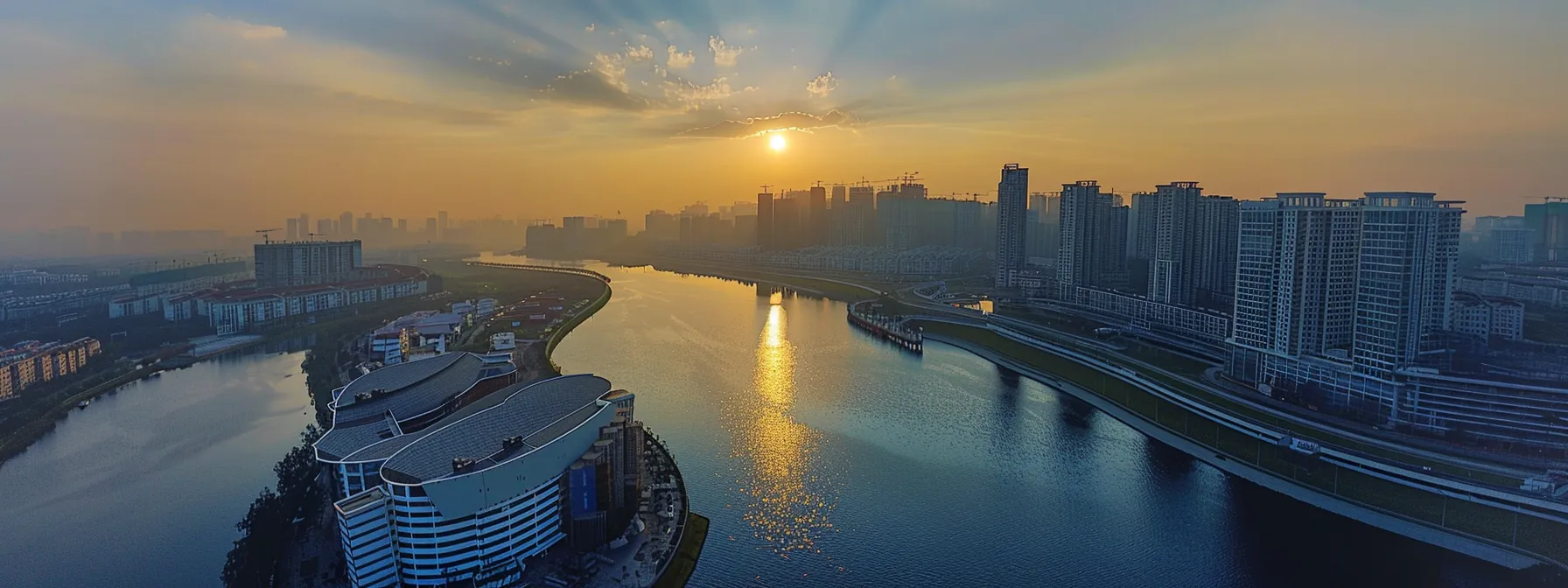
Eagle Eye Drone Services employs advanced mapping and surveying techniques to deliver precise geospatial data for various industries. Their drones equipped with LiDAR sensors and high-resolution cameras capture detailed topographical information, creating accurate 3D models and orthomosaic maps. These cutting-edge technologies enable clients to make informed decisions in urban planning, infrastructure development, and environmental management:
Expert Consultation and Support
Eagle Eye Drone Services provides expert consultation and support to guide clients through their aerial imaging projects. Their team of experienced professionals offers personalized advice on drone selection, flight planning, and regulatory compliance. The company ensures clients receive ongoing technical support and assistance throughout their projects, maximizing the value of their aerial imagery investments.
Training Programs for Aspiring Drone Pilots
Eagle Eye Drone Services offers comprehensive training programs for aspiring drone pilots. These courses combine theoretical knowledge with hands-on flight experience, covering topics such as drone regulations, flight planning, and aerial photography techniques. Participants gain practical skills through supervised flight sessions and receive guidance on obtaining necessary certifications, preparing them for successful careers in the growing drone industry.
Mastering Drone Photography Techniques

Mastering drone photography requires a blend of technical skills and creative vision. This section covers essential techniques for capturing stunning aerial imagery, including shot planning, camera settings optimization, weather adaptation, post-processing, and safe flying practices. These guidelines help photographers elevate their drone photography skills and produce high-quality results.
Planning and Preparing for the Perfect Shot
Successful drone photography begins with meticulous planning and preparation. Photographers should scout locations in advance, considering factors such as lighting conditions, potential obstacles, and optimal flight paths. They must also research local regulations and obtain necessary permissions before flying. By creating a detailed shot list and flight plan, drone operators can maximize their time in the air and capture the desired images efficiently.
Optimizing Drone Settings for Clarity and Precision
Optimizing drone settings is crucial for capturing clear and precise aerial images. Photographers should adjust the camera’s ISO, shutter speed, and aperture to suit the lighting conditions and desired effect. They must also fine-tune the drone’s flight parameters, such as altitude, speed, and stabilization settings, to ensure smooth movements and sharp imagery. Regular calibration of the drone’s sensors and gimbal helps maintain image quality and flight stability.
Navigating Different Weather Conditions
Drone photographers must adapt to varying weather conditions to capture high-quality aerial images. Wind speed and direction affect flight stability and battery life, requiring adjustments to flight paths and camera settings. Photographers should monitor weather forecasts and plan shoots during optimal conditions, considering factors like cloud cover, precipitation, and temperature. They must also be prepared to adjust ISO and shutter speed to compensate for changing light levels throughout the day. Understanding how different weather patterns impact image quality enables photographers to create stunning aerial compositions in diverse environments:
Enhancing Images With Post-Processing Tools
Post-processing tools play a crucial role in enhancing drone photography. Photographers use software like Adobe Lightroom and Photoshop to adjust exposure, color balance, and sharpness, bringing out the best in their aerial images. Advanced techniques such as HDR merging and panorama stitching allow for the creation of stunning, high-dynamic-range compositions that capture the full beauty of landscapes and cityscapes from above.
Tips for Safe and Effective Flying
Safe and effective drone flying requires adherence to regulations and best practices. Operators must maintain visual line of sight with their drones, avoid flying near airports or restricted areas, and respect privacy laws. They should conduct pre-flight checks, monitor battery levels, and be prepared for emergency landings. Mastering smooth control inputs and understanding the drone’s capabilities enhance flight stability and image quality.
Navigating Safety and Legal Requirements

Navigating safety and legal requirements is crucial for drone operators. This section covers drone regulations, necessary certifications, safety best practices, legal updates, and ethical considerations. Understanding these aspects ensures compliance, enhances operational safety, and promotes responsible drone usage in various industries.
Understanding Drone Regulations and Compliance
Drone operators must navigate a complex landscape of regulations and compliance requirements to ensure legal and safe operations. The Federal Aviation Administration (FAA) in the United States sets guidelines for drone usage, including registration requirements, flight restrictions, and operational rules. Operators must familiarize themselves with airspace classifications, no-fly zones, and altitude limitations to avoid violations. Understanding and adhering to these regulations is essential for maintaining safety and avoiding penalties:
- FAA Part 107 regulations for commercial drone operations
- Drone registration requirements
- Airspace restrictions and no-fly zones
- Altitude and speed limitations
- Visual line-of-sight requirements
Obtaining Necessary Certifications and Permits
Obtaining necessary certifications and permits is crucial for legal drone operations. Commercial drone pilots in the United States must acquire a Remote Pilot Certificate by passing the FAA Part 107 exam, which covers regulations, airspace knowledge, and operational procedures. Operators may also need additional permissions for specific flight scenarios, such as flying in controlled airspace or conducting night operations. Staying current with certifications and obtaining relevant permits ensures compliance and enhances professional credibility:
- Remote Pilot Certificate (Part 107)
- Airspace authorizations (LAANC)
- Waivers for special operations
- State and local permits
- Insurance requirements
Implementing Best Practices for Safety
Implementing best practices for safety is crucial in drone operations. Operators conduct thorough pre-flight inspections, checking batteries, propellers, and control systems. They maintain visual line of sight, avoid flying over people, and respect privacy laws. Operators also monitor weather conditions, establish emergency procedures, and use geofencing technology to prevent accidental entry into restricted airspace. These practices minimize risks and ensure safe, responsible drone operations:
Staying Informed on Legal Updates
Staying informed on legal updates is essential for drone operators to maintain compliance and adapt to evolving regulations. Operators should regularly check official sources such as the FAA website, industry publications, and professional associations for the latest information on drone laws and policies. Participating in webinars, attending conferences, and joining online forums can provide valuable insights into regulatory changes and their practical implications. Key areas to monitor include:
- Changes in registration requirements
- Updates to airspace restrictions
- New certification processes
- Emerging technologies and their regulatory implications
- State and local legislation affecting drone operations
Ethical Considerations in Drone Usage
Drone operators must consider ethical implications of their activities to ensure responsible usage. They should respect privacy rights, avoiding unauthorized surveillance or capturing images of individuals without consent. Operators must also be mindful of environmental impacts, particularly when flying near wildlife habitats or sensitive ecosystems. Ethical considerations extend to data management, requiring secure handling and storage of captured imagery. Responsible drone usage involves balancing technological capabilities with societal concerns and ethical standards:
- Respecting privacy and property rights
- Minimizing environmental disturbance
- Ensuring transparent and ethical data usage
- Avoiding misrepresentation of captured imagery
- Adhering to professional codes of conduct
Selecting the Right Drone Equipment

Selecting the right drone equipment is crucial for achieving professional-quality aerial imagery. This section covers comparing drone models, essential accessories, equipment maintenance, budgeting, and gear upgrades. Understanding these aspects helps operators make informed decisions and maximize their investment in drone technology for optimal results.
Comparing Drone Models and Features
Comparing drone models and features involves evaluating key specifications such as flight time, camera quality, and payload capacity. Operators assess factors like sensor size, image resolution, and gimbal stability to ensure optimal image quality. Advanced features like obstacle avoidance, intelligent flight modes, and transmission range also play crucial roles in selecting the right drone for specific aerial imaging needs.
Essential Accessories for Professional Results
Professional drone operators rely on essential accessories to enhance their aerial imaging capabilities. These include extra batteries for extended flight times, propeller guards for safety, and ND filters for improved image quality in bright conditions. Specialized carrying cases protect equipment during transport, while memory cards with high write speeds ensure smooth video recording. Advanced operators often invest in FPV goggles for immersive flying experiences and handheld controllers for precise maneuvers. The selection of accessories depends on specific project requirements and operational conditions:
Maintaining and Caring for Your Equipment
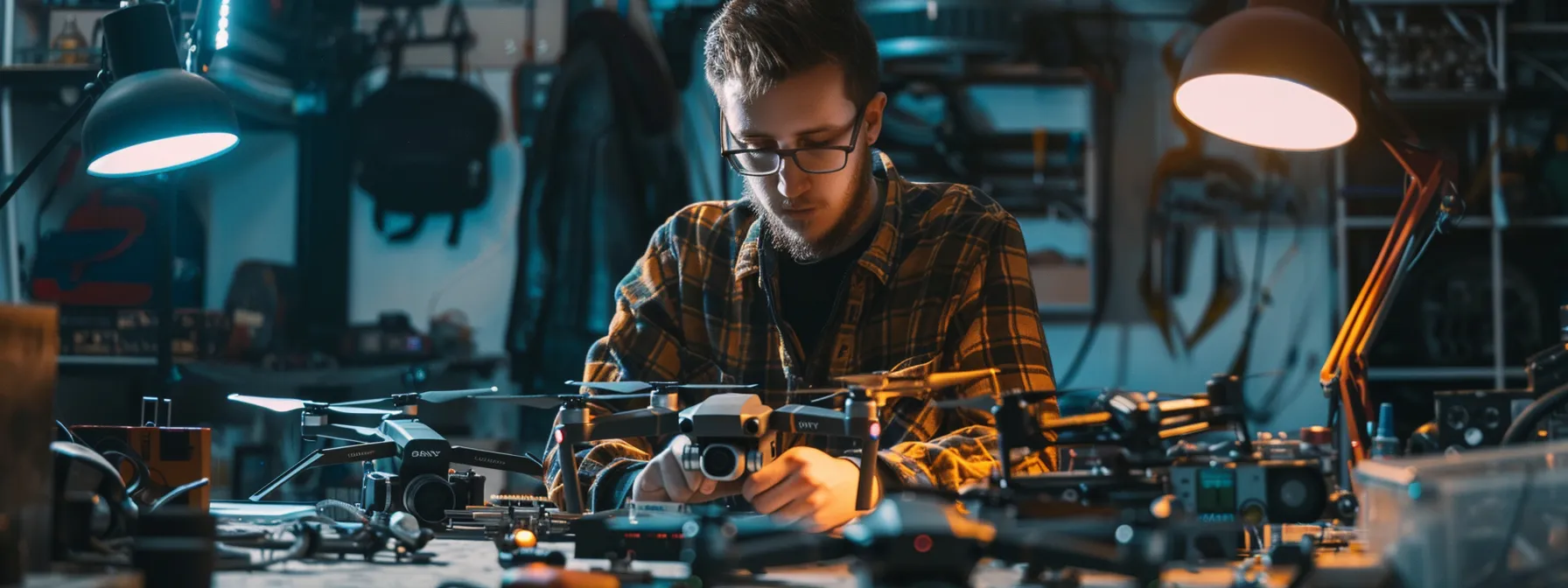
Proper maintenance and care extend the lifespan of drone equipment and ensure optimal performance. Operators should clean their drones after each flight, inspect propellers for damage, and calibrate sensors regularly. Battery care involves proper storage, cycling, and avoiding overcharging. Firmware updates keep drones functioning correctly and secure against potential vulnerabilities. Professional operators maintain detailed maintenance logs to track equipment health and schedule preventive servicing.
Budgeting for Your Drone Investment
Budgeting for a drone investment requires careful consideration of both initial costs and long-term expenses. Operators should allocate funds for the drone itself, essential accessories, and ongoing maintenance. They must also factor in costs for insurance, certifications, and potential equipment upgrades. A comprehensive budget helps ensure operators can sustainably maintain their drone operations and deliver high-quality aerial imagery services:
- Drone purchase cost
- Accessories and spare parts
- Insurance premiums
- Certification and training fees
- Software subscriptions
- Maintenance and repair expenses
Upgrading and Expanding Your Gear
Upgrading and expanding drone gear is essential for operators to stay competitive and enhance their capabilities. They should assess their current equipment’s limitations and identify areas for improvement based on project requirements and technological advancements. Operators often upgrade to drones with higher-resolution cameras, longer flight times, or specialized sensors for specific applications. Expanding gear may include investing in additional accessories like professional-grade filters, advanced controllers, or portable charging stations. A strategic approach to upgrades ensures operators can tackle more complex projects and deliver superior aerial imagery:
- Assess current equipment limitations
- Identify areas for improvement
- Research new drone models and technologies
- Invest in specialized accessories
- Plan for future project requirements
Real-World Applications and Success Stories

This section explores real-world applications of drone technology across industries. It examines how aerial imagery transforms real estate marketing, enhances environmental monitoring, captures events from unique angles, and improves agricultural practices. Client testimonials demonstrate Eagle Eye Drone Services’ impact in delivering innovative aerial imaging solutions.
Transforming Real Estate Marketing With Aerial Imagery
Aerial imagery has revolutionized real estate marketing, offering potential buyers a comprehensive view of properties and their surroundings. Real estate agents now use drone footage to showcase expansive estates, highlight neighborhood amenities, and provide virtual tours that engage clients from afar. This technology enables agents to create stunning visual content that sets their listings apart in a competitive market:
- Showcase property exteriors and landscaping
- Highlight neighborhood features and proximity to amenities
- Create immersive virtual tours for remote buyers
- Emphasize unique selling points like views or acreage
- Enhance marketing materials with dynamic aerial footage
Innovations in Environmental Monitoring
Drone technology has revolutionized environmental monitoring, enabling scientists to collect data in previously inaccessible areas. Researchers use drones equipped with specialized sensors to track wildlife populations, assess forest health, and monitor air and water quality. These aerial platforms provide high-resolution imagery and real-time data, allowing for rapid response to environmental changes and more effective conservation efforts.
Capturing Events From a New Perspective
Drones have revolutionized event coverage, offering unique aerial perspectives that captivate audiences. Event organizers now employ drone operators to capture stunning footage of large gatherings, concerts, and sporting events, providing viewers with immersive experiences. These aerial shots enhance production value, offering dynamic angles that complement traditional ground-based filming techniques and create memorable visual content for attendees and remote viewers alike.
Enhancing Agricultural Practices With Drone Technology
Drone technology has revolutionized agricultural practices, enabling farmers to optimize crop management and increase yields. Farmers use drones equipped with multispectral cameras to monitor crop health, identify pest infestations, and detect irrigation issues with unprecedented precision. This aerial imagery allows for targeted application of fertilizers and pesticides, reducing waste and environmental impact while improving overall farm efficiency. By integrating drone data with farm management systems, agriculturists can make data-driven decisions that enhance productivity and sustainability in modern farming operations.
Testimonials From Eagle Eye Drone Services’ Clients
Eagle Eye Drone Services has garnered praise from clients across various industries for their exceptional aerial imaging solutions. Real estate developers commend the company’s ability to showcase properties in their best light, while event organizers appreciate the dynamic footage that elevates their productions. Environmental researchers highlight the precision and reliability of Eagle Eye’s mapping services, and agricultural clients report significant improvements in crop management efficiency. These testimonials underscore Eagle Eye Drone Services’ commitment to delivering high-quality, innovative aerial imagery that meets diverse client needs.
Conclusion
Aerial imagery has revolutionized various industries, offering unique perspectives and valuable data that enhance decision-making processes. Eagle Eye Drone Services’ comprehensive guide illuminates the evolution of drone technology, essential techniques, legal requirements, and equipment selection, empowering professionals to harness the full potential of aerial imaging. By mastering drone photography and understanding its real-world applications, businesses can gain a competitive edge in marketing, environmental monitoring, event coverage, and agricultural practices. This guide serves as an invaluable resource for those seeking to elevate their operations through innovative aerial imaging solutions, ultimately driving growth and efficiency across diverse sectors. For more information, Contact Us today!
